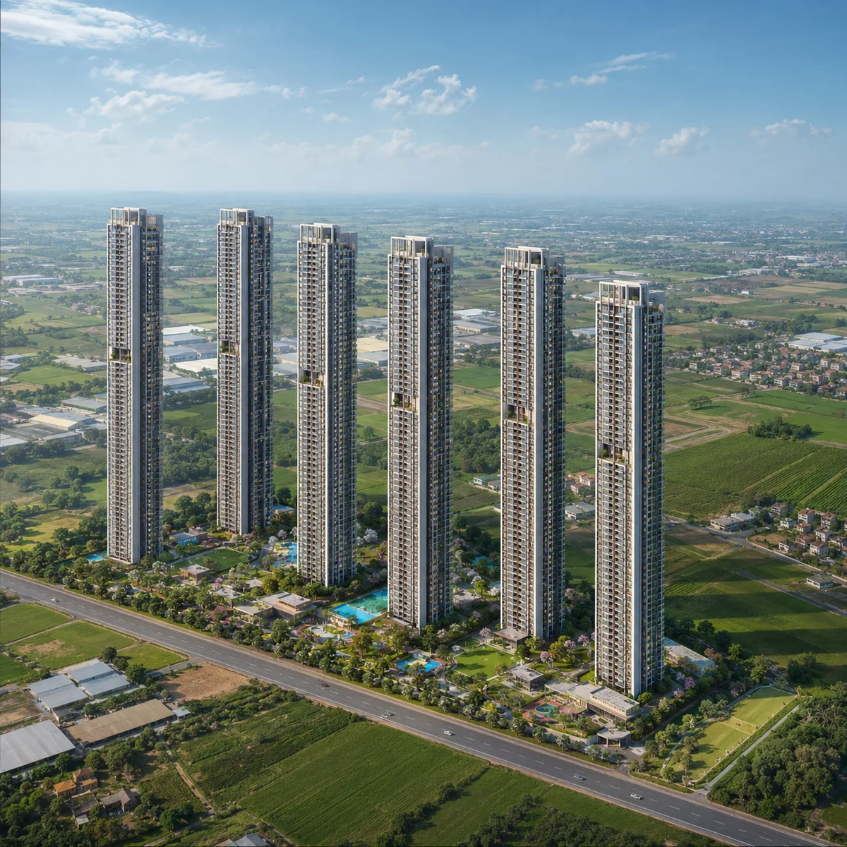
What does exist is unusually specific for a project that has not launched. The developer's own environmental filing — the Standard Terms of Reference granted by the State Level Expert Appraisal Committee, Karnataka on 10 April 2026 — sets out the building envelope in numbers: six residential towers, each of three basements plus ground plus 45 upper floors, reaching a maximum height of 142.7 metres, holding 1,215 apartments, with the clubhouse as a separate ground-floor structure, on 7.527 hectares at Bodanahosahalli. A filed envelope is not a design, but it constrains one tightly, and a reader can learn a great deal from it about massing, ground coverage and how the scheme will sit in its landscape.
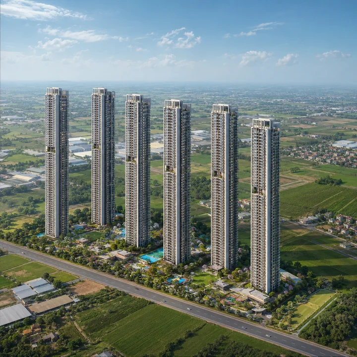
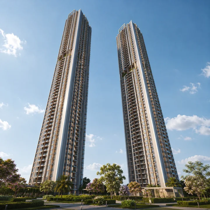
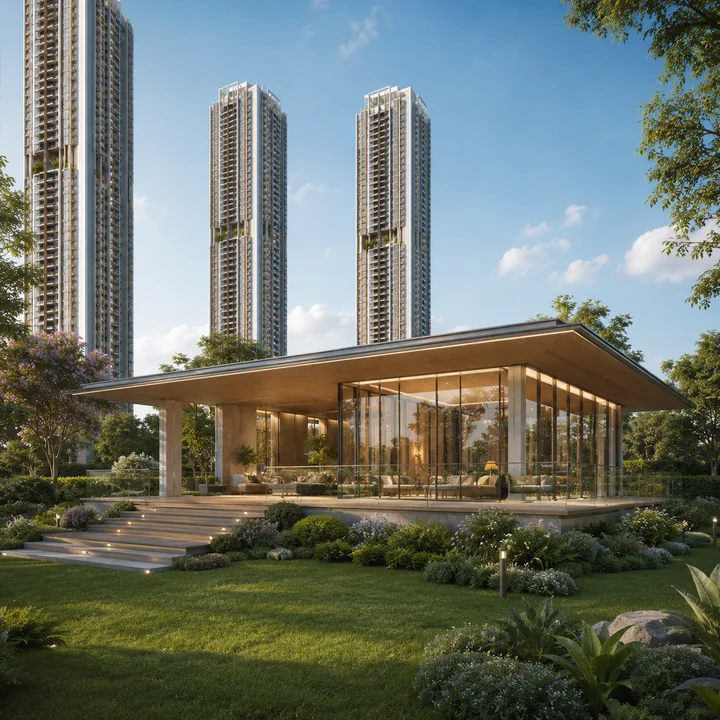
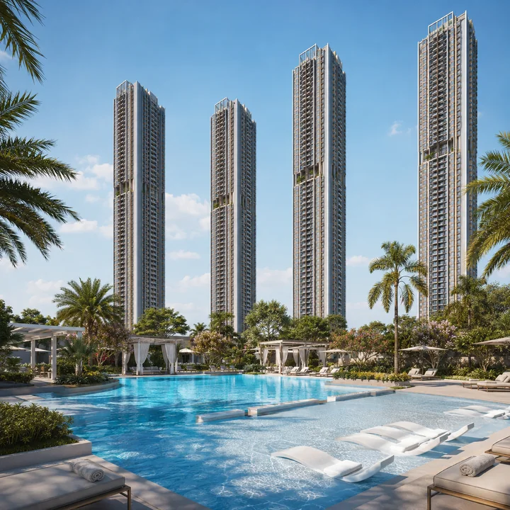
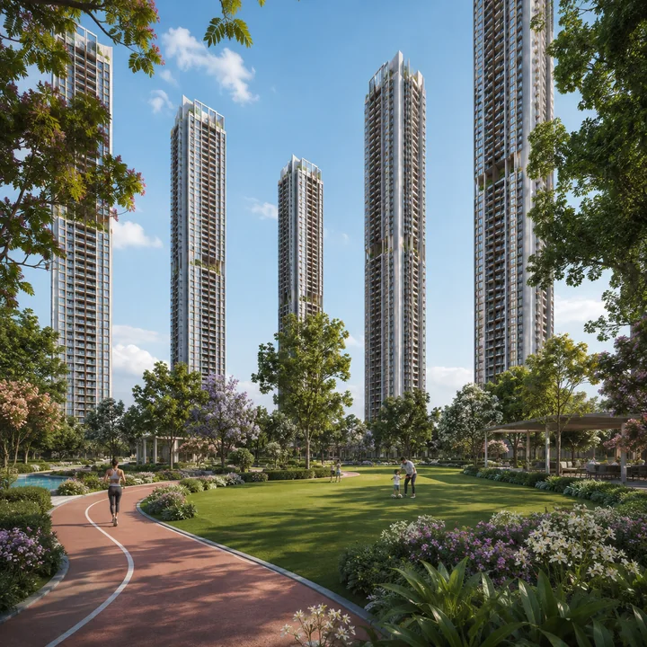
Any visual carried on this site is an indicative impression prepared by us from that filed envelope. It is closer to a diagram of what the filing describes than to a picture of a building. Nothing on this page should be read as a developer image, and nothing on it describes a drawing we have seen. Where this page describes the site, the corridor and the approach, it is describing the place as it exists today, from routed distances and mapped features — that part is real, and it is the part a buyer can go and check this weekend.
What a Gallery Normally Shows, and Why This One Cannot
At the point a large Bengaluru scheme releases visuals it has usually cleared three gates: a sanctioned plan from the planning authority, a RERA registration, and a marketing launch. Embassy Millennium has cleared none of them. It holds environmental Terms of Reference — the scoping approval that authorises the impact study, not the Environmental Clearance itself, which was applied for on 23 July 2026 and remains under verification. It is not registered with Karnataka RERA and no application for it has been filed. Under Section 3 of the Real Estate (Regulation and Development) Act 2016 the project may not lawfully be advertised until it is registered, which is a large part of why no promotional imagery exists.
The absence is therefore information rather than a failure. The renders will arrive, and when they do they will arrive alongside the documents that make them checkable. Until then, the honest visual record of Embassy Millennium is the land itself.
The Approach and the Frontage Road
The drive in is the first thing a visitor will register and the thing most likely to differ from the eventual marketing.
The parcel's frontage is NH-648, the Dabaspete–Hosur Highway — a two-lane national highway, 307 metres from the site pin. It is not a Soukya Road frontage. Soukya Road runs east–west 1,146 metres away as the crow flies, and because no local road connects north across that gap, the nearest point on it is 4.45 kilometres by road — a detour of nearly four times the straight-line distance. Soukya Hospital Junction, where Soukya Road begins, is 3.49 kilometres away, entirely along NH-648.
What that looks like on the ground is a two-lane carriageway with informal shoulders, mixed traffic — cars, two-wheelers, tractors, and a steady flow of goods vehicles serving the warehousing belt — and edge development that is agrarian and industrial rather than residential. There is a bus stop named Bhodana Hosahalli 0.47 kilometres from the pin, with Dunnasandra at 1.23 kilometres and Samethanahalli at 1.73. BMTC routes 304Q, 305, 305P, 306, 306MA and 322 are reported on the Soukya Road corridor; which of them actually reach the site's own stop is not something we have been able to verify, so read that as reported rather than served.
Every westbound journey from this pin runs the same sequence: NH-648 for about 2.8 kilometres, Channasandra Main Road for about 3.2 kilometres, then Whitefield Road. Not one routed trip to Whitefield, ITPB, KR Puram or Hope Farm uses Soukya Road at all. That single pipe is the most important thing about the approach and no photograph of a gate will show it. If you visit once, drive that sequence at 8.30 in the morning and again at 6.30 in the evening.
The Parcel and Its Neighbours
The land is 18.60 acres — 7.527 hectares — assembled across fourteen named survey numbers: 32/2, 32/3, 33/1 to 33/3, 34/1 to 34/3, 85/1 to 85/3, 83/1(P), 83/2(P) and 82/5, held under a Joint Development Agreement. Two of those are part-numbers, which is the signature of a boundary drawn through an existing village plot rather than around it.
The filing declares a site extent running between 12.978521, 77.804561 and 12.983435, 77.807228. Worked through, that bounding box is roughly 545 metres north to south and 289 metres east to west — about 15.8 hectares. The site itself is 7.527 hectares, so the parcel occupies a little under half of the rectangle that contains it. That is our arithmetic on the filing's own declared extent, and what it implies is an irregular, elongated assembly rather than a clean rectangle — a shape that will drive the tower placement more than any aesthetic decision, because six towers with three basement levels beneath them have to sit where the geometry and the ramps allow.
Ground elevation is about 876 metres above mean sea level, agreed within three metres by four independent terrain datasets. This is the Deccan plateau's eastern shoulder: gently undulating, dry-farmed, red-soil country with granite outcrops and scattered mature trees, opening to long views east toward Chikka Tirupathi and the Tamil Nadu boundary 13 kilometres away.
Within three and a half kilometres the mapped landmarks are a biscuit factory, a state warehousing godown, an Ayurvedic hospital and a series of village bus stops. That is the honest inventory. The two nearest health facilities are wellness centres rather than hospitals — Ayurvedagram Heritage Wellness Centre at 1.77 kilometres and the SOUKYA International Holistic Health Centre at 3.58, the institution that gives the corridor its name. The nearest general hospital is 9.32 kilometres away in the Whitefield belt. The only named school inside four kilometres is Bangalore International Academy at 3.55 kilometres, on Soukya Road; the recognisable private schools start at Whitefield, eight kilometres and more away.
A visitor should expect, today, to stand on farmland beside a two-lane highway with a factory and a warehouse within sight and no residential neighbourhood around it. That is not a criticism of the parcel — it is what a pre-launch site on an emerging corridor looks like — but it is the frame within which every eventual render should be read.
Corridor Context
The wider belt has a real economic base, and it is a logistics one. The Hoskote area is among India's larger Grade-A warehousing hubs, and Bengaluru's eastern submarket absorbed 46 per cent of the city's warehouse leasing in the first half of 2026. Search results for "Soukya Road" itself are dominated not by the health centre but by e-commerce logistics operators. The visual character of the corridor over the next decade will be set by that as much as by residential development.
Move west and the character changes quickly. Devangonthi railway station is 4.55 kilometres away — a small suburban halt that around eleven local and MEMU services use, running the eight kilometres to Whitefield in five to nine minutes, and a feature the corridor's marketing material almost never mentions. Kadugodi Tree Park metro, the nearest operational station, is 7.12 kilometres by road, roughly 26 minutes at peak — not a walk, and no metro extension toward Hoskote or beyond Kadugodi is sanctioned. Hope Farm Circle is 7.99 kilometres, ITPB Gate 1 is 8.22, and Nexus Whitefield, the nearest organised mall, is 9.17. Hoskote town — the taluk the address names — is 14.47 kilometres in the other direction.
Move east instead and the new Satellite Town Ring Road carriageway lies about 5.6 kilometres away and is still under construction at this latitude; the nearest open carriageway is 13.18 kilometres by road. It is a feature of the corridor's future rather than its present.
Tower Massing — What the Filed Envelope Implies
This is where the numbers become genuinely visual, and every figure below is derived from the developer's own filing rather than from any drawing.
Six towers hold 1,215 apartments, which is 202.5 homes per tower; across 45 upper floors that is about 4.5 homes per floor plate. Above-ground built-up area of roughly 1.95 million square feet spread over 270 floor plates gives around 7,200 square feet per plate — a footprint in the region of 27 metres square. At 142.7 metres tall, that is a slenderness ratio of about 5.3 to 1: an ordinary, buildable proportion for a residential tower, and a distinctly slender one by East Bengaluru standards, where the prevailing form is a broad plate carrying eight to twelve homes per floor.
The consequence for the ground is striking. Six footprints of roughly 729 square metres each occupy about 4,374 square metres of a 75,270-square-metre site — under six per cent ground coverage by the towers themselves. Ninety-four per cent of the parcel is something other than tower. At 65.3 apartments per acre this is also the least dense of the four large schemes on this stretch, against Godrej Parkshire at 80.9 per acre, Provident Botanico at 74.5 and Sobha One World at 72.6.
So the massing the filing describes is six tall, narrow shafts standing well apart on a largely open site — not a wall of building along a frontage, and not a podium block. Whether the towers are ranked in a row, clustered, or staggered across the elongated parcel is exactly the design decision no one outside the developer's office knows yet, and it is the decision that will determine which homes look at each other and which look out.
Elevation and the Skyline
At 142.7 metres, Embassy Millennium as filed would be among the three or four tallest residential buildings in Bengaluru and comfortably the tallest in the eastern belt. The tallest completed residential building anywhere in the city is CNTC Presidential Tower in Yeshwantpur at 161 metres over 50 floors, finished in 2023; Mantri DSK Pinnacle is 153 metres. Out east the ceiling is far lower — Godrej Woodscapes at 115 to 120 metres, Trendsquares World of Gardens at 110.9 metres, Alembic Cloud Forest at 105.7 metres. It would not be the tallest in Bengaluru, and this site will not claim that it is.
The visual consequence is a matter of geometry rather than opinion. On ground at about 876 metres above mean sea level, a crown at 142.7 metres puts the top of the building near 1,018.7 metres AMSL. Over the eight kilometres to the Whitefield employment belt, the drop from the earth's curvature is only about five metres, so the upper third of a tower of this height sits well clear of the horizon at that distance. Subject to haze and to whatever gets built in between, this would be a structure visible across a broad stretch of East Bengaluru — and, from the upper floors, a building with genuinely long views west over Whitefield and east over open country.
The height also has a hard ceiling above it, and it is worth understanding because this corridor gets it wrong routinely. HAL Airport governs here, not Kempegowda. The site is 15.34 kilometres from HAL's reference point, inside the 20-kilometre radius that triggers a mandatory height No Objection Certificate; Kempegowda is 26.40 kilometres away and outside it. HAL is a defence aerodrome with its own NOC committee and a cap of 1,037 metres AMSL, tighter than the national rule. On 876-metre ground that leaves 161 metres of permissible structure against a filed 142.7 — about 18 metres of margin. The residual risk is the certified ground level, since HAL accepts only a Survey of India or KSRSAC figure, and a certified 890 metres would cut the permissible height to 147 metres and the margin to roughly four. In other words: the elevation you eventually see rendered is not guaranteed to be the elevation that gets built.
The Ground Plane, Landscape and Amenity Spaces
Because the towers cover so little ground, the ground plane is where most of this scheme's character will be decided — and it is also where the least is known.
The filing confirms three basement levels and a clubhouse as a separate ground-floor structure. It publishes no clubhouse area, no bay count, no open-space figure, no landscape plan and no amenity schedule. A landscape plan and a water balance chart were filed with the environmental application but are not public; both would become available if the Environmental Clearance is granted.
One structural point deserves a visitor's attention more than any render will. Working from the built-up arithmetic, the three basement levels amount to roughly 1.05 million square feet in total, or around 350,000 square feet per level — plausibly something near 40 per cent of the parcel's footprint. Much of the landscaped ground residents walk on will therefore be a slab over structure rather than natural earth. That is normal and can be done beautifully, but soil depth over a basement slab is finite, and soil depth is what decides whether the mature canopy trees drawn in a landscape image can actually grow where they are drawn. When visuals do appear, the question to ask of every large tree in them is simple: is there natural ground under it?
A freestanding single-storey clubhouse is the more encouraging detail. Spread horizontally rather than stacked into a podium, it usually means larger and better-daylit rooms and a building residents walk to rather than a floor they take a lift to. It is only possible because the towers take up so little of the site. Its programme, though — pool, gym, courts, halls — is entirely unpublished, and every amenity listed anywhere on this site other than the clubhouse itself and the basement parking is an expectation for a scheme of this scale and stated ₹600 crore cost, not a disclosure.
Arrival, Lobbies and Interiors
Nothing has been published about the interiors, and nothing on this page describes them. What can be said is what the format implies. Each tower is filed as three basements plus ground plus 45 upper floors, with the ground level counted separately from the residential stack; in a tower of this type that level conventionally carries the entrance lobby, the lift bank, security and concierge, and services, with homes starting above — but that is the convention, not a statement about this building, and whether homes exist at ground level is a fair question to put to the sales team.
A 45-storey stack of around 202 homes needs a substantial core: multiple passenger lifts at high rated speed, a service lift for furniture and materials, a fireman's lift on emergency power, and pressurised staircases. At 2.5 metres per second the full 142.7-metre rise takes about 57 seconds of travel at speed; at 4 metres per second, about 36. None of that has been specified. The lobby you eventually see in a render is far less consequential than the lift schedule behind it.
What to Ask to See Before Committing
A pre-launch project's visuals are the last thing a buyer should rely on and the first thing they are offered. In order of usefulness:
- The Environmental Clearance, once granted. It would publish the site layout, water balance, sewage treatment capacity, power load, parking counts and green cover — real documents, not impressions.
- The sanctioned plan from the Local Planning Authority under BMRDA, showing tower positions, setbacks, basement extent and the actual boundary against the fourteen survey numbers.
- The Karnataka RERA registration, which would put approved plans, the carpet area of every unit type and the declared completion date on a public portal.
- The height No Objection Certificate from Hindustan Aeronautics Limited, and the certified ground elevation it was issued against.
- The landscape plan with the basement outline overlaid — the single drawing that shows which trees can be real.
- A show flat, when one exists, and the written fit-out specification that goes with it.
- The survey-number boundary walked on the ground, ideally with the sketch from the Joint Development Agreement in hand.
Visiting the Site
The parcel is straightforward to reach: take Whitefield Road east to Channasandra Main Road, continue to Soukya Hospital Junction, then run out along NH-648. The pin is 12.981258, 77.806128.
Three pieces of practical advice. Go at commute hours, not at midday — the corridor's defining constraint is a single westbound pipe, and it does not show itself at 11 a.m. Go in the monsoon if you can, because drainage on a two-lane highway shoulder and on undulating red-soil farmland is a real variable, and it is invisible in the dry season. And look at the water, since the parcel sits outside BWSSB's Cauvery network — Cauvery Stage VI, approved by the Karnataka cabinet in February 2026, is at planning stage with earliest supply discussed around 2028, so until then this is a borewell and tanker location, and the neighbouring borewells are worth asking about.
Finally, be clear about what a site visit can and cannot settle at this stage. It can tell you what the land, the road and the neighbourhood are actually like — which is more than any render will. It cannot tell you what will be built, because nothing has been sanctioned, nothing has been registered and nothing can lawfully be sold. No booking amount, allotment letter or agreement to sell can be executed until a Karnataka RERA number is issued. Verify the status yourself at rera.karnataka.gov.in before any money changes hands.
Ask to see the real drawings
Elevations, the sample-flat plan and the site as it stands today - we will request whatever exists and tell you honestly what does not.
Talk to a Sales ConsultantFrequently Asked Questions
Embassy Millennium Gallery FAQs - Frequently Asked Questions
Three different jurisdictions, and the difference shows in your paperwork rather than the building. BBMP was the city corporation inside Bengaluru's municipal limits, replaced there by the Greater Bengaluru Authority, constituted 15 May 2025 and operational from 2 September 2025, which split the city into five corporations. BDA sanctions layouts in its own jurisdiction. BMRDA is the regional authority above both, working through the Local Planning Authorities. Hoskote taluk sits outside BBMP and the Greater Bengaluru Authority, so the khata and the provider of municipal services both differ.
The corroborated Grade-A launch band runs to about ₹11,100 per sq ft at Godrej Parkshire, Sarakariguttahalli (1,132 units on 14 acres, launched January 2026) and ₹11,339 at Provident Botanico on Soukya Road (1,275 units on 17.12 acres, under construction), with Sobha One World at ₹14,800. The first two were cross-checked against per-unit price and size tables, not headline listings. Hoskote's government-registered transaction average is ₹5,300 per sq ft — a stamp-duty reference, not a comparable, since the sample is two registered sales between September 2025 and August 2026.
Karnataka stamp duty with cess and surcharge runs to approximately 5.65 per cent, and the registration fee is 2.00 per cent — doubled from 1 per cent on 31 August 2025, so any cost sheet still showing 1 per cent is stale. On an under-construction purchase GST is 5.00 per cent with no input tax credit, putting the statutory load at about 12.65 per cent. Add roughly 8 per cent of developer charges for floor rise, preferential location, club, infrastructure and covered parking, and the working multiplier is about 1.20 times base — all-in guidance of ₹1.38–1.87 crore for a 2 BHK, ₹1.59–2.11 crore for a 2.5 BHK, ₹1.86–2.50 crore for a 3 BHK and ₹2.14–2.89 crore for a 3.5 BHK.
The demand case is genuine and it is employment: ITPB Gate 1 at 8.22 km, the EPIP Zone at 10.27 km and Prestige Shantiniketan at 10.35 km, alongside the Hoskote NH-75 logistics and warehousing cluster at 10.32 km, with the eastern submarket taking 46 per cent of Bengaluru's H1 2026 warehouse leasing. The risks are equally concrete: every westbound commute funnels through one road sequence, social infrastructure sits 9 to 10 km away in Whitefield, there is no Cauvery water and no sanctioned metro east of Kadugodi, and Bengaluru carried 72,800 unsold units at Q1 2026, up 24 per cent year on year at a 14-month overhang. Our reading: track it rather than act on it, because until a RERA number exists there is nothing to act on.
Three things, all information-gathering. Register an interest through the enquiry form on the contact page, so you are told when a RERA number is issued, when the Environmental Clearance is granted and its impact study becomes public, and when the developer publishes a price and a floor plate. Drive the commute yourself — NH-648, Channasandra Main Road, Whitefield Road — at 8:30 am and again at 7 pm on a weekday, because that road sequence is the most important variable here and no table conveys it. And visit two delivered Embassy projects, speaking to their resident associations.
Search rera.karnataka.gov.in for the project by name and by promoter before parting with any money, and pull the environmental file on PARIVESH using proposal SIA/KA/INFRA2/570324/2026 to confirm that what is granted is Terms of Reference, not an Environmental Clearance. Then ask the developer, in writing, for the entity that will sign the sale deed, the Joint Development Agreement and sharing ratio, encumbrance certificates on all fourteen survey numbers, the land-conversion order and land-use zone, the Local Planning Authority and sanction reference, the HAL height No Objection Certificate and the certified elevation behind it, and the water plan. Have a property lawyer read it.